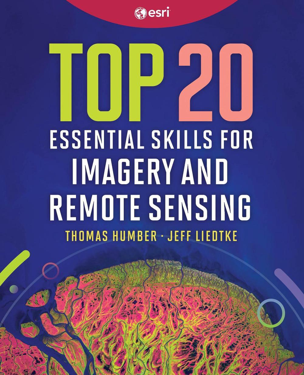
Top 20 Essential Skills for Imagery and Remote Sensing
$96.01
- Paperback
250 pages
- Release Date
9 June 2026
Summary
Unlock the Power of Imagery: 20 Essential Skills for Remote Sensing in ArcGIS
Using imagery and raster data has never been easier.
Top 20 Essential Skills for Imagery and Remote Sensing in ArcGIS guides readers step-by-step through the essential techniques needed to visualize, process, analyze, and manage imagery and raster products. In just a few clicks, you’ll learn the skills necessary to interpret imagery, create imagery products, and perform various imagery ana…
Book Details
| ISBN-13: | 9781589488212 |
|---|---|
| ISBN-10: | 1589488210 |
| Series: | Top 20 Essential Skills |
| Author: | Thomas Humber, Jeff Liedtke |
| Publisher: | ESRI Press |
| Imprint: | ESRI Press |
| Format: | Paperback |
| Number of Pages: | 250 |
| Release Date: | 9 June 2026 |
| Weight: | 0g |
| Dimensions: | 234mm x 190mm x 12mm |
You Can Find This Book In
About The Author
Thomas Humber
Thomas Humber is a principal technical lead with the Training Services team at Esri. He focuses on imagery and remote sensing technologies. He is an integral part of the staff overseeing Esri’s imagery curriculum and brings more than 30 years of practical experience using, interpreting, and analyzing remote sensing imagery of various types and modalities.
Jeff Liedtke is a principal product engineer and documentation lead with the Raster team at Esri. He has advanced degrees and 30 years of experience in applied remote sensing, photogrammetry, and image processing.
Returns
This item is eligible for free returns within 30 days of delivery. See our returns policy for further details.


