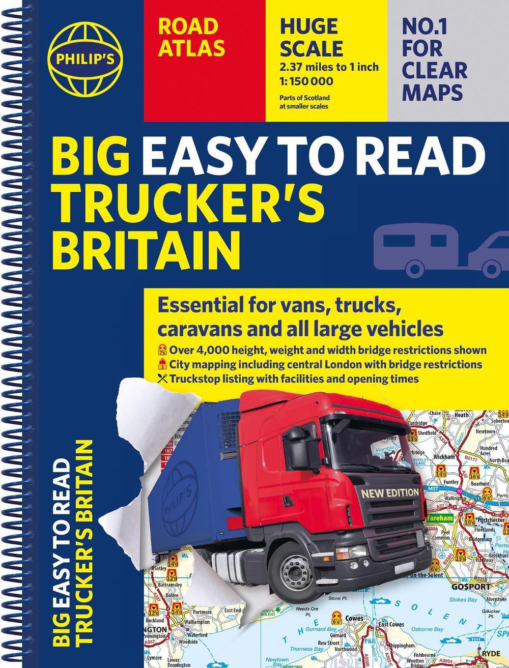
Philip's Big Easy to Read Trucker's Road Atlas Britain
over 4,000 bridges mapped (a3 spiral)
$42.51
- Spiral
208 pages
- Release Date
10 November 2025
Summary
Conquer Britain’s Roads: The Trucker’s Indispensable Atlas
PHILIP’S - THE ATLAS BRAND FOR TRUCKERS, CARAVANNERS AND OTHER SERIOUS ROAD USERS
‘The best of its kind with quick and easy to use information’ Fleet Week
- Essential, large, easy-to-read mapping for Truckers (and for Caravanners, too)
- Over 4,000 bridges with restrictions - either height, weight or width - located on the maps
- Super-clear scale maps of the UK - ‘…
Book Details
| ISBN-13: | 9781849077248 |
|---|---|
| ISBN-10: | 184907724X |
| Series: | Philip's Road Atlases |
| Author: | Philip's Maps |
| Publisher: | Octopus Publishing Group |
| Imprint: | Philip's |
| Format: | Spiral |
| Number of Pages: | 208 |
| Release Date: | 10 November 2025 |
| Weight: | 1.15kg |
| Dimensions: | 388mm x 294mm x 14mm |
You Can Find This Book In
What They're Saying
Critics Review
I was recently diverted off the M1 with a 15’ 6’ and this atlas got me through without hitting a low bridge. – John RichardsThe map is the best on the market - clean, easy to read – Jim NelsonMoney well spent and huge savings avoiding buying a modern truck Satnav. – Jan Ali
About The Author
Philip's Maps
Philip’s has been at the forefront of creating maps and atlases since 1834. Whether a local street map or a fact-packed World Atlas, we use the most up-to-date technology, expertise and our global network to ensure our customers have all the information they need.
Returns
This item is eligible for free returns within 30 days of delivery. See our returns policy for further details.


