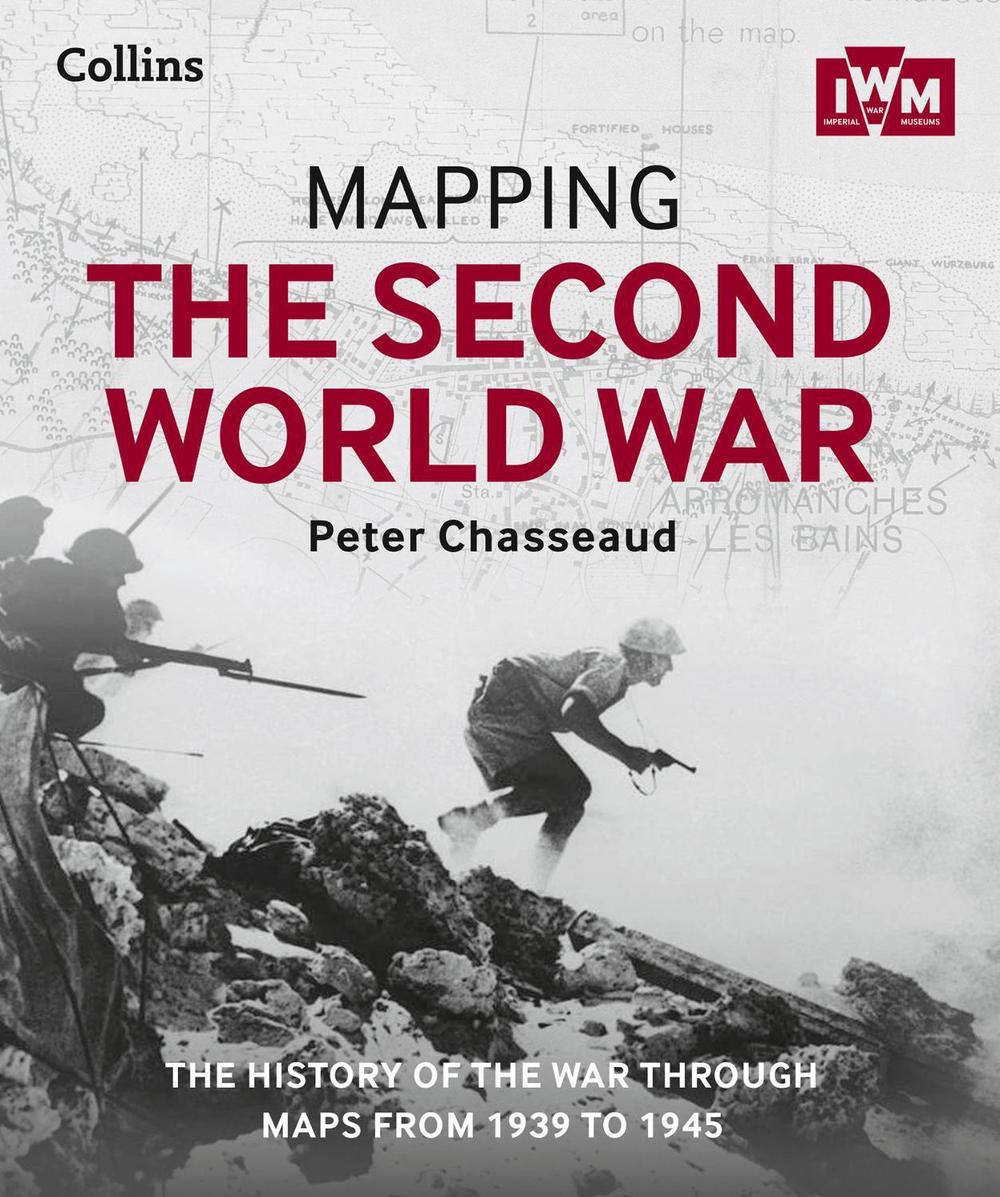
Mapping the Second World War
The History of the War Through Maps from 1939 to 1945
$85.59
- Hardcover
304 pages
- Release Date
20 September 2015
Summary
Follow the conflict of the Second World War from 1939 to 1945 in this unique volume, published in association with Imperial War Museums, London, featuring historical maps and photographs from their archives, and fascinating commentary from an expert historian.
Over 150 maps tell the story of how this global war was fought.
Types of maps featured:
- Strategic maps showing theatres of war, frontiers and occupied territories
- Maps covering key battles and of…
Book Details
| ISBN-13: | 9780008136581 |
|---|---|
| ISBN-10: | 0008136580 |
| Author: | Peter Chasseaud, The Imperial War Museum, Collins Books |
| Publisher: | HarperCollins Publishers |
| Imprint: | Collins |
| Format: | Hardcover |
| Number of Pages: | 304 |
| Release Date: | 20 September 2015 |
| Weight: | 1.54kg |
| Dimensions: | 271mm x 227mm x 27mm |
You Can Find This Book In
What They're Saying
Critics Review
‘Beautifully produced book that will interest military historians and map lovers alike’ – Who Do You Think You Are magazine
‘Expert commentary and a fresh perspective on the events of the war’ – Family Tree Magazine
‘Mapping the Second World War draws on the remarkable maps of IWM’s unparalleled archive to offer a new perspective on the conflict’s key moments’ – Antiques Diary
About The Author
Peter Chasseaud
A historian of military cartography, a Fellow of the Royal Geographical Society, the founder of the Historical Military Mapping Group of the British Cartographic Society, a member of the Defence Surveyors’ Association, the Royal United Services Institute (RUSI) and author of definitive works on trench mapping and toponymy.
Returns
This item has a special returns policy. Please read it carefully.
All returns requests should be submitted via BATCH RETURNS (www.batch.co.uk/returns). Batch Returns is an easy-to-use web interface designed to streamline the returns process. Booksellers simply send a list electronically from the Batch Returns website and a response will be received from Central Books within a few hours. Once you have authorisation, you will be able to print out a bar-coded label and send back the books!


