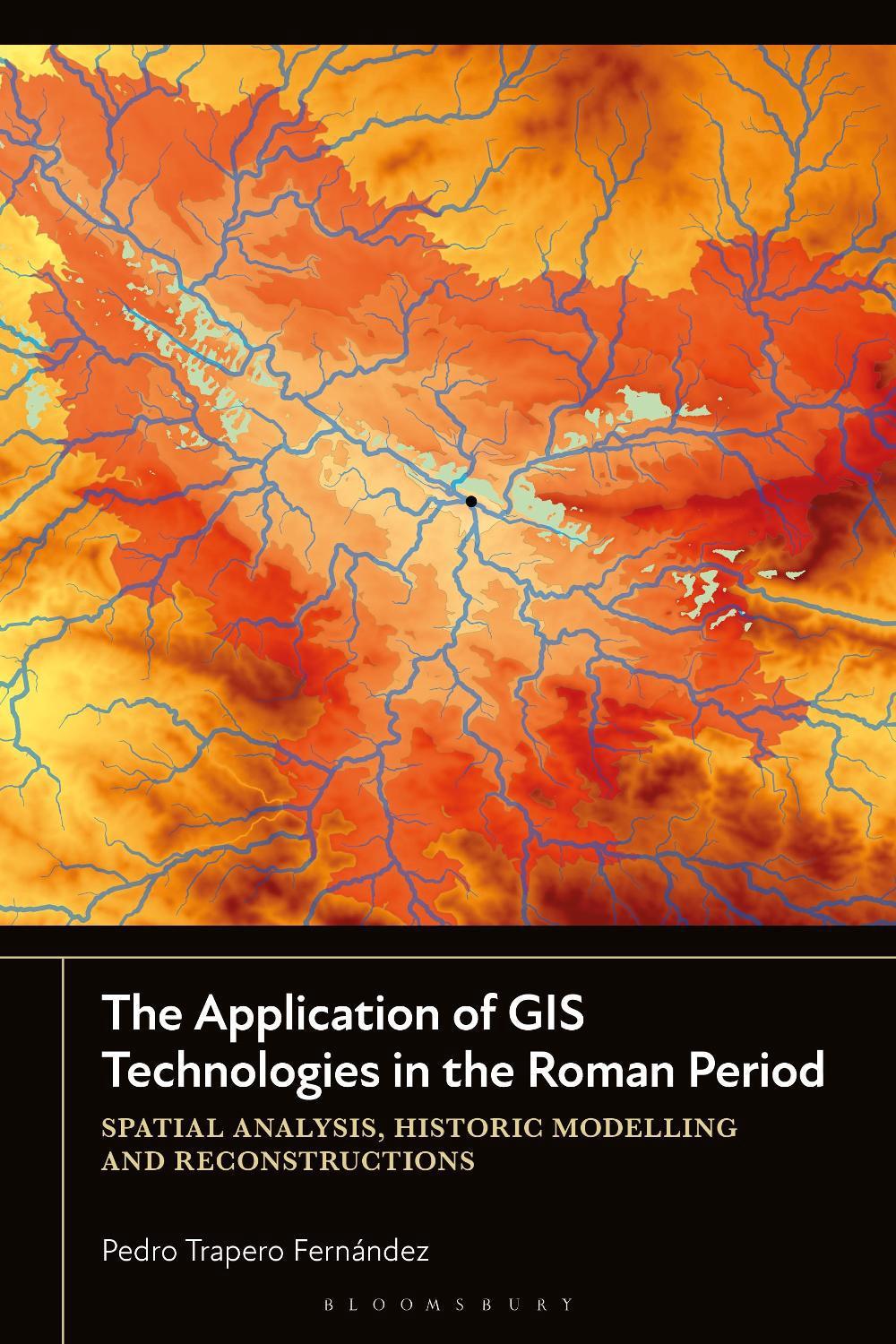
Hardcover
Uncover Roman history: GIS technology reveals lost landscapes and spatial models.
The Application of GIS Technologies in the Roman Period
spatial analysis, historic modelling and reconstructions
$320.98
- Hardcover
232 pages
- Release Date
12 December 2024
Check Delivery Options
Summary
Mapping the Roman World: GIS Applications in Mediterranean Archaeology
Using archaeological case studies from the Roman period in the Mediterranean region, Pedro Trapero Fernández shows how GIS technologies can be employed in the creation of spatial models to reproduce historical realities.
An increasing number of researchers use this digital humanities tool as a means to model both territory and landscape. This book compiles different spatial models under a…
Book Details
| ISBN-13: | 9781350433700 |
|---|---|
| ISBN-10: | 1350433705 |
| Author: | Pedro Trapero Fernández |
| Publisher: | Bloomsbury Publishing PLC |
| Imprint: | Bloomsbury Academic |
| Format: | Hardcover |
| Number of Pages: | 232 |
| Release Date: | 12 December 2024 |
| Weight: | 520g |
| Dimensions: | 238mm x 162mm x 18mm |
You Can Find This Book In
About The Author
Pedro Trapero Fernández
Pedro Trapero Fernández is a Postdoctoral Researcher in Ancient History and Archaeology at the University of Cádiz, Spain.
Returns
This item is eligible for free returns within 30 days of delivery. See our returns policy for further details.


