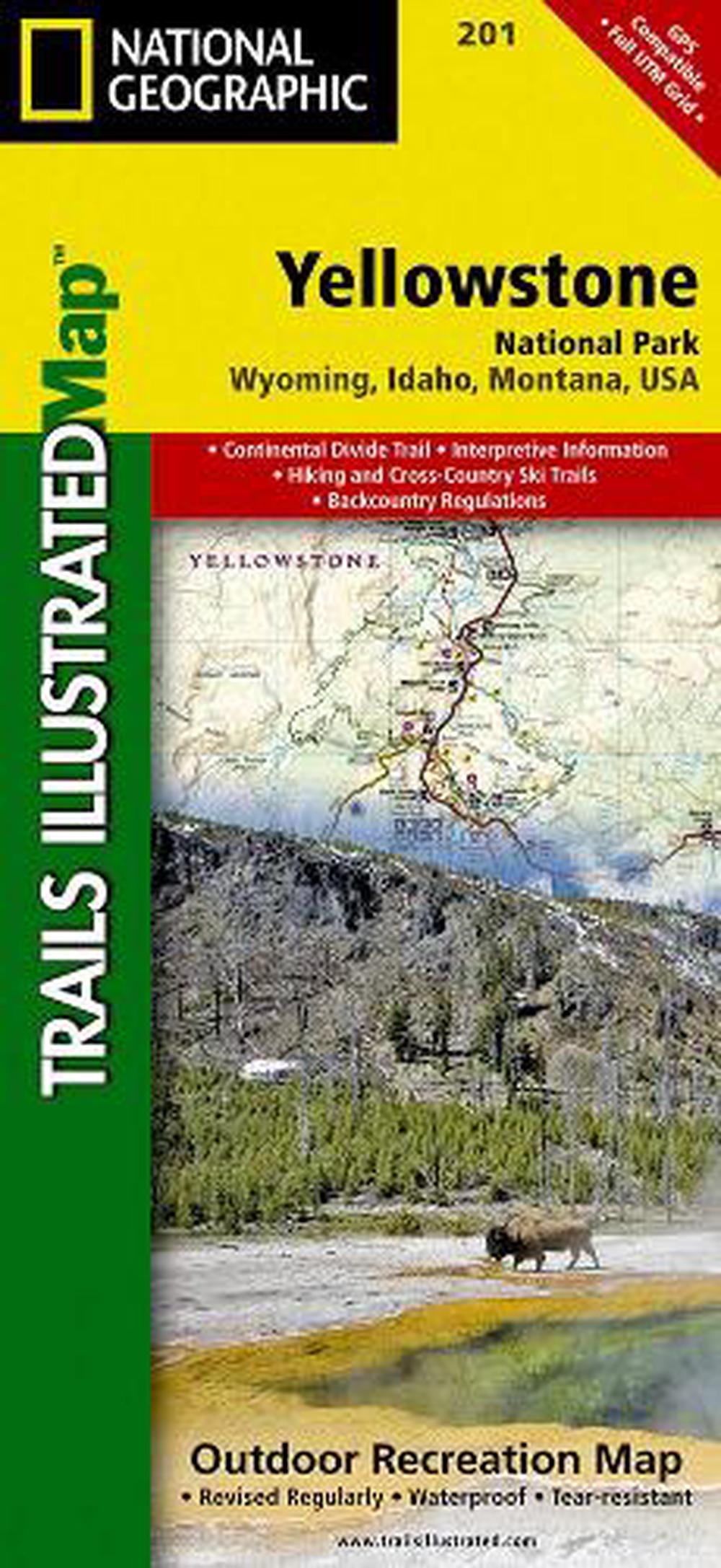
Yellowstone National Park
trails illustrated national parks
$38.28
- Folded
1 pages
- Release Date
2 August 2012
Summary
Trails Illustrated topographic maps are the most detailed and up-to-date recreation maps available for these national parks, national forests and popular outdoor recreation areas. Detailed and accurate coverage for Yellowstone National Park, this map includes a detailed road network and popular trails, complete with use restrictions, mileages, elevation gains, and difficulty ratings. Popular attractions and park services are clearly identified. UTM and Latitude/Longitude grids ensure ease of …
Book Details
| ISBN-13: | 9781566952958 |
|---|---|
| ISBN-10: | 1566952956 |
| Author: | National Geographic Maps |
| Publisher: | National Geographic Maps |
| Imprint: | National Geographic Maps |
| Format: | Folded |
| Number of Pages: | 1 |
| Edition: | 2022nd |
| Release Date: | 2 August 2012 |
| Weight: | 91g |
| Dimensions: | 235mm x 108mm |
You Can Find This Book In
About The Author
National Geographic Maps
Founded in 1915 as the Cartographic Group, the first division of National Geographic, National Geographic Maps has been responsible for illustrating the world around us through the art and science of mapmaking.Today, National Geographic Maps continues this mission by creating the world’s best wall maps, recreation maps, atlases, and globes which inspire people to care about and explore their world.
Returns
This item is eligible for free returns within 30 days of delivery. See our returns policy for further details.


