Folded
Explore Balearic Islands: clear maps, routes, towns, and tourist sights.
Fast Dispatch
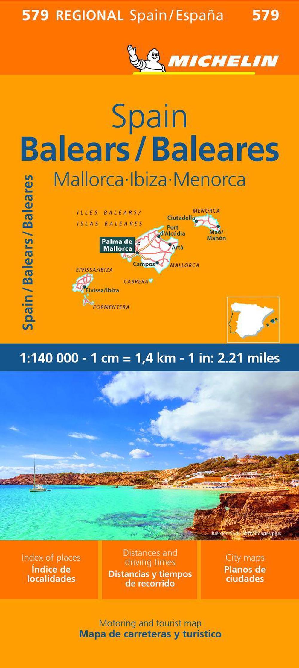
Balears - Michelin Regional Map 579
$10.81
- Folded
1 pages
- Release Date
28 September 2023
Check Delivery Options
Summary
Balearic Islands Explorer: Your Michelin Guide to Paradise
MICHELIN Balearic Islands Regional Map (updated in 2023) at a scale of 1⁄140,000 provides extensive coverage of primary, secondary, and scenic routes throughout these Spanish Isles.
In addition to Michelin’s clear and accurate mapping, this regional map includes practical information for a trouble-free journey, including major town plans and tourism information. Picturesque routes are highlighted with a green border.…
Book Details
| ISBN-13: | 9782067259881 |
|---|---|
| ISBN-10: | 2067259881 |
| Author: | Michelin |
| Publisher: | Michelin Editions des Voyages |
| Imprint: | Michelin Editions des Voyages |
| Format: | Folded |
| Number of Pages: | 1 |
| Edition: | 10th |
| Release Date: | 28 September 2023 |
| Weight: | 104g |
| Dimensions: | 250mm x 250mm |
You Can Find This Book In
Returns
This item is eligible for free returns within 30 days of delivery. See our returns policy for further details.


