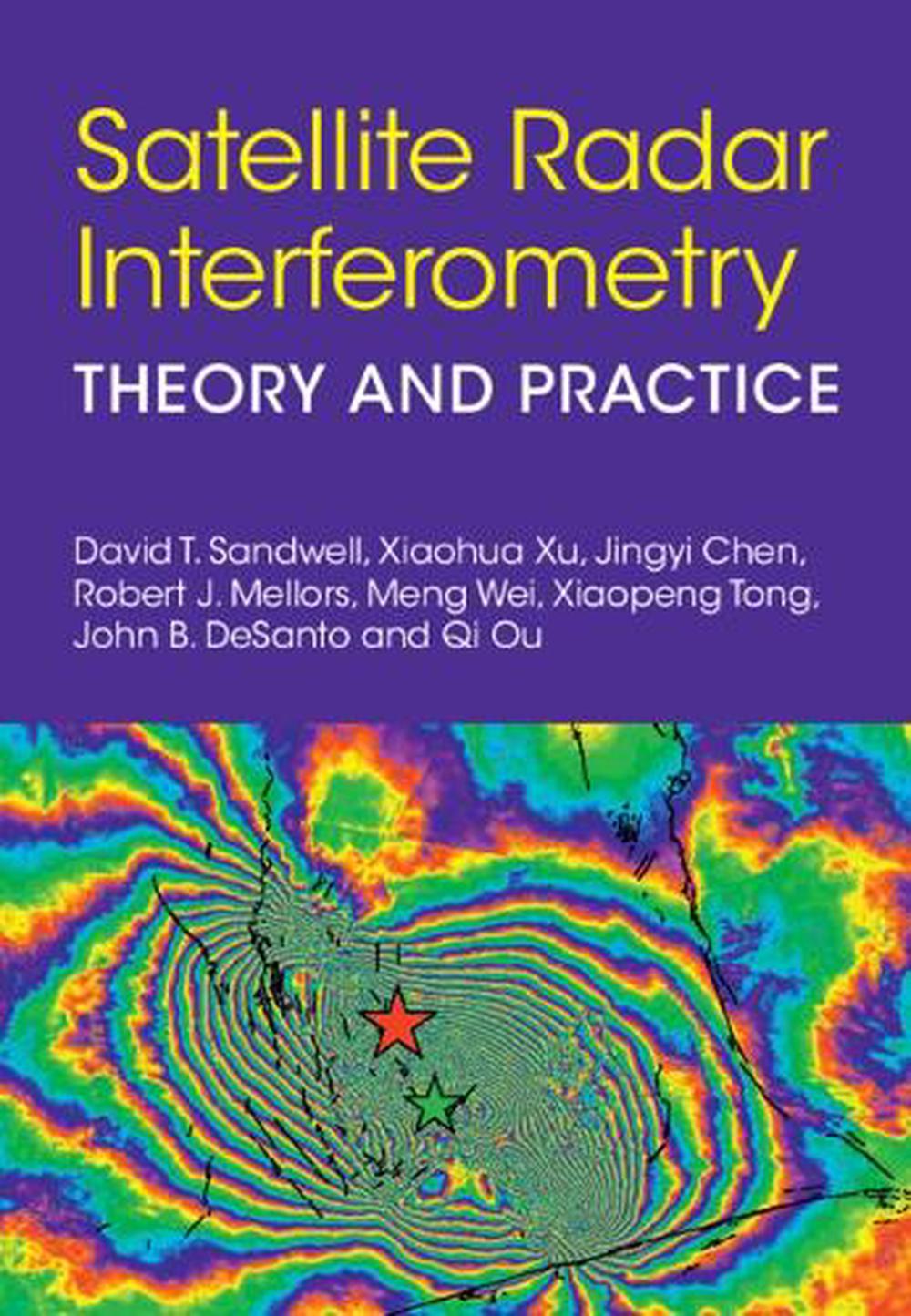
Satellite Radar Interferometry
theory and practice
$175.45
- Hardcover
212 pages
- Release Date
4 September 2025
Summary
Unearth Ground Truths: A Deep Dive into Satellite Radar Interferometry
Synthetic Aperture Radar Interferometry (InSAR) is an active remote sensing method that uses repeated radar scans of the Earth’s solid surface to measure relative deformation at centimeter precision over a wide swath. It has revolutionized our understanding of the earthquake cycle, volcanic eruptions, landslides, glacier flow, ice grounding lines, ground fluid injection/withdrawal, underground nuclear tests, and …
Book Details
| ISBN-13: | 9781009606233 |
|---|---|
| ISBN-10: | 1009606239 |
| Author: | David T. Sandwell, Xiaohua Xu, John B. DeSanto, Qi Ou, Jingyi Chen, Robert J. Mellors, Meng Wei, Xiaopeng Tong |
| Publisher: | Cambridge University Press |
| Imprint: | Cambridge University Press |
| Format: | Hardcover |
| Number of Pages: | 212 |
| Release Date: | 4 September 2025 |
| Weight: | 532g |
| Dimensions: | 179mm x 251mm |
About The Author
David T. Sandwell
David T. Sandwell is a Professor of Geophysics at Scripps Institution of Oceanography. His research is focused on marine tectonics, geodynamics, and the earthquake cycle using InSAR and GNSS (Global Navigation Satellite System). He is the author of more than 200 research papers and the book Advanced Geodynamics: The Fourier Transform Method (2022, Cambridge University Press). He is a member of the US National Academy of Sciences.
Xiaohua Xu is a Professor at the University of Science and Technology of China. His research is focused on earthquakes, faulting, crustal deformation, and tectonic geodesy.
Jingyi Ann Chen is an Associate Professor of Aerospace Engineering at the University of Texas at Austin. Her research is focused on the development of InSAR techniques for studying natural and induced seismicity, groundwater resources, natural disasters, and permafrost hydrology. She is a senior member of the Institute of Electrical and Electronics Engineers (IEEE) and a member of the American Geophysical Union (AGU).
Robert J. Mellors is a Researcher at Scripps Institution of Oceanography. His research is focused on enhancing geophysical sensing including InSAR, global seismic instrumentation, muons, and photonic seismology. He is currently an advisor to the US Department of Energy (ARPA-E) on advanced energy technologies.
Meng (Matt) Wei is an Associate Professor of oceanography in the Graduate School of Oceanography at the University of Rhode Island. His research is focused on tectonic geodesy, fault mechanics, coastal subsidence, and natural hazards. He has published about thirty research papers and is a recipient of a Faculty Early Career Development Program (CAREER) award from the National Science Foundation .
Xiaopeng Tong is an Associate Researcher in the Institute of Geophysics, China Earthquake Administration, Beijing. He Ph.D. is from the Scripps Institution of Oceanography, University of California, San Diego. His research interests include InSAR, space geodesy, and crustal deformation.
John B. DeSanto is a Research Scientist at the University of Washington. His primary interests lie in the fields of marine tectonics and subduction zone processes. He studies these regions directly by adapting geodetic techniques such as GNSS to the offshore environment.
Qi Ou is a Lecturer at the University of Edinburgh. She applies big Earth Observation data to understand multi-hazards induced by active tectonics, climate change, and anthropogenic activities. She is author of several highly cited papers, convener and speaker at the Seismological Society of America and American Geophysical Society conferences, and recipient of a Discipline Hopping Award from UK Research and Innovation (UKRI).
Returns
This item is eligible for free returns within 30 days of delivery. See our returns policy for further details.


