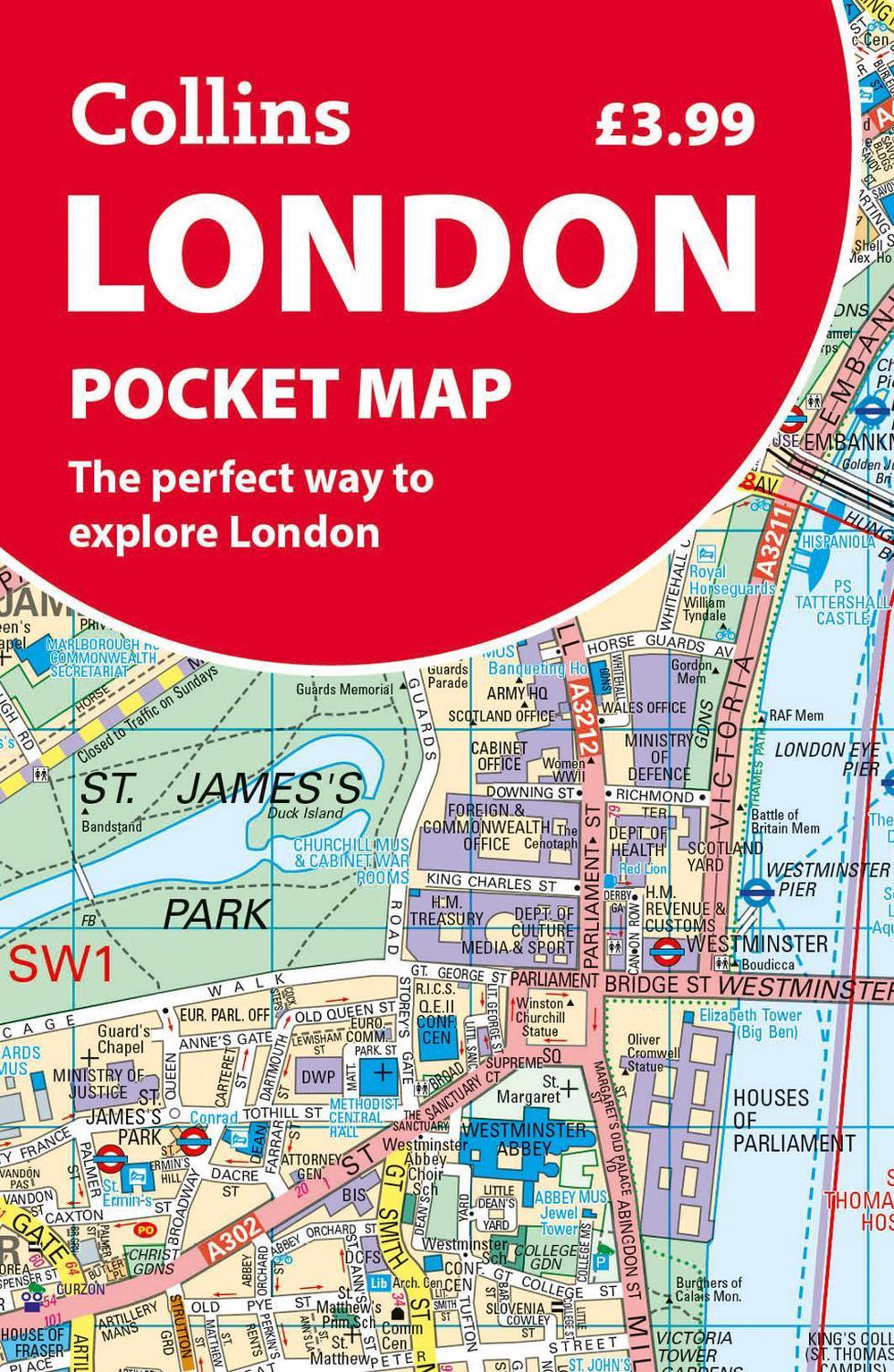
London Pocket Map
the perfect way to explore london
$13.39
- Folded
2 pages
- Release Date
1 July 2025
Summary
London Pocket Map: Your Essential Guide to the City
Clear mapping from Regent’s Park in the north to Kennington in the south, and Kensington Gardens in the west to Tower Bridge in the east at a scale of 1:12,500 (5 inches to 1 mile). Maps of West End shopping and theatres are also included.
Ideal to take with you on your journey, this map is excellent value and very detailed for its size. Covering the most visited area of central London, this is an essential buy for tourists…
Book Details
| ISBN-13: | 9780008719166 |
|---|---|
| ISBN-10: | 0008719160 |
| Author: | Collins Maps |
| Publisher: | HarperCollins Publishers |
| Imprint: | Collins |
| Format: | Folded |
| Number of Pages: | 2 |
| Release Date: | 1 July 2025 |
| Weight: | 30g |
| Dimensions: | 140mm x 90mm x 6mm |
You Can Find This Book In
About The Author
Collins Maps
Author Biography
[Author Name] is a seasoned cartographer and geographer with over 15 years of experience in the field. Holding a Master’s degree in Geographic Information Science (GIS) from [University Name], they have dedicated their career to creating and analyzing maps for various purposes, ranging from urban planning to environmental conservation. [Author Name] has worked with both government agencies and private organizations, contributing to projects that have shaped our understanding of the world. Their expertise lies in spatial data analysis, map design, and the application of GIS technologies to solve real-world problems. With a passion for education, [Author Name] strives to make complex geographic concepts accessible to a wider audience through clear and engaging writing.
Returns
This item is eligible for free returns within 30 days of delivery. See our returns policy for further details.


