$11.55
- Folded
2 pages
- Release Date
19 February 2019
Summary
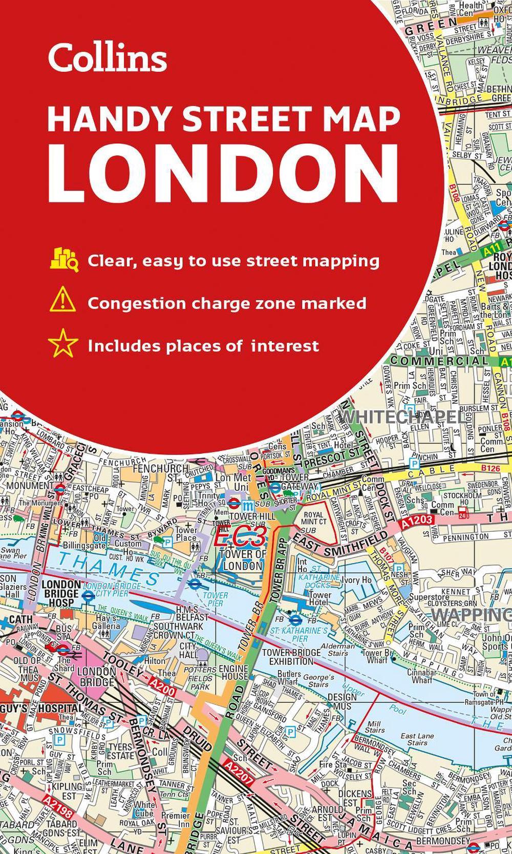
An essential companion whether you are travelling around London by car, public transport or on foot.
Clear and easy-to-read map of central London and surrounding area. Contains detailed mapping, presented in a handy compact format.
This attractive map, ideal for both tourists and residents, and fully updated, has an extensive area of coverage and displays a wealth of detail.
This map includes:
- New for this edition: Electric car recharging sites
- F…
Book Details
| ISBN-13: | 9780008320584 |
|---|---|
| ISBN-10: | 0008320586 |
| Author: | Collins Maps |
| Publisher: | HarperCollins Publishers |
| Imprint: | Collins |
| Format: | Folded |
| Number of Pages: | 2 |
| Release Date: | 19 February 2019 |
| Weight: | 90g |
| Dimensions: | 192mm x 112mm x 7mm |
You Can Find This Book In
About The Author
Collins Maps
Here’s a reformatted author biography in Markdown:
[Author Name] is a seasoned cartographer and geographer with over [Number] years of experience in the field. They hold a degree in [Degree] from [University Name] and have worked on a diverse range of mapping projects, from urban planning to environmental conservation. Their expertise lies in [Specific Area of Expertise, e.g., GIS, remote sensing, data visualization]. [Author Name] is passionate about communicating complex spatial information in an accessible and engaging way. They are committed to promoting the use of maps and geospatial technologies for informed decision-making and a better understanding of our world.
Returns
This item is eligible for free returns within 30 days of delivery. See our returns policy for further details.


