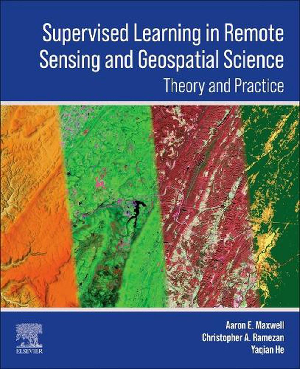
Supervised Learning in Remote Sensing and Geospatial Science
$443.76
- Paperback
444 pages
- Release Date
1 October 2025
Summary
Unlock Earth Insights: A Practical Guide to Supervised Learning in Remote Sensing and Geospatial Science
Supervised Learning in Remote Sensing and Geospatial Science is an invaluable resource focusing on practical applications of supervised learning in remote sensing and geospatial data science. Emphasizing practicality, the book delves into creating labeled datasets for training and evaluating models. It addresses common challenges like data imbalance and offers methods for assessi…
Book Details
| ISBN-13: | 9780443293061 |
|---|---|
| ISBN-10: | 0443293066 |
| Author: | Aaron E. Maxwell, Christopher Ramezan, Yaqian He |
| Publisher: | Elsevier - Health Sciences Division |
| Imprint: | Elsevier - Health Sciences Division |
| Format: | Paperback |
| Number of Pages: | 444 |
| Release Date: | 1 October 2025 |
| Weight: | 0g |
| Dimensions: | 276mm x 216mm |
You Can Find This Book In
About The Author
Aaron E. Maxwell
Aaron Maxwell is an Assistant Professor in the Department of Geology and Geography at West Virginia University. He is also the director of West Virginia View, an AmericaView member organization, and a faculty director of the West Virginia GIS Technical Center. He holds a PhD in Geology from West Virginia University and is a West Virginia native. The primary objectives of his work are to investigate computational methods to extract useful information from geospatial data that can inform decision making and to train students to be effective and thoughtful geospatial scientists and professionals. His teaching focuses on geographic information science (GISc), remote sensing, and geospatial data science. His research interests include spatial predictive modeling, accuracy assessment, applications of machine learning and deep learning in the geospatial sciences, digital terrain analysis, geographic object-based image analysis (GEOBIA), and geomorphic and forest mapping and modeling.
Christopher Ramezan is an Assistant Professor in the Department of Management Information Systems at West Virginia University. He is also the program director of the Master of Science in Business Cybersecurity Management program in the John Chambers College of Business and Economics. He received his Ph.D. in 2019 in Geography from West Virginia University, specializing in remote sensing. His research interests in remote sensing include applied machine learning, sample selection, model optimization, image segmentation, geographic object-based image analysis (GEOBIA), and land-use land-cover classification. He currently teaches courses on data and network communications, enterprise security architecture, operational technology and industrial control systems security, and cybersecurity data analytics. He has over 10 years’ experience in the information technology field and was the former information security officer of the Eberly College of Arts and Sciences at West Virginia University. He also holds over 20 industry certifications including the CISSP, CISM, CASP, and CDPSE.
Yaqian He is an Assistant Professor in the Department of Geography at the University of Central Arkansas. She obtained her Ph.D. in 2018 in Geography from West Virginia University. Her research focuses on leveraging geospatial methods, deep learning, and machine learning algorithms, as well as Earth System models to detect and attribute land cover and land use change across the globe and assess how such changes in turn affect natural systems (e.g., climate and ecosystem). Her teaching includes geographic information systems, geographic field techniques, python programming for spatial analytics, and cartography. She is also an FAA-certified Remote Pilot.
Returns
This item is eligible for free returns within 30 days of delivery. See our returns policy for further details.


