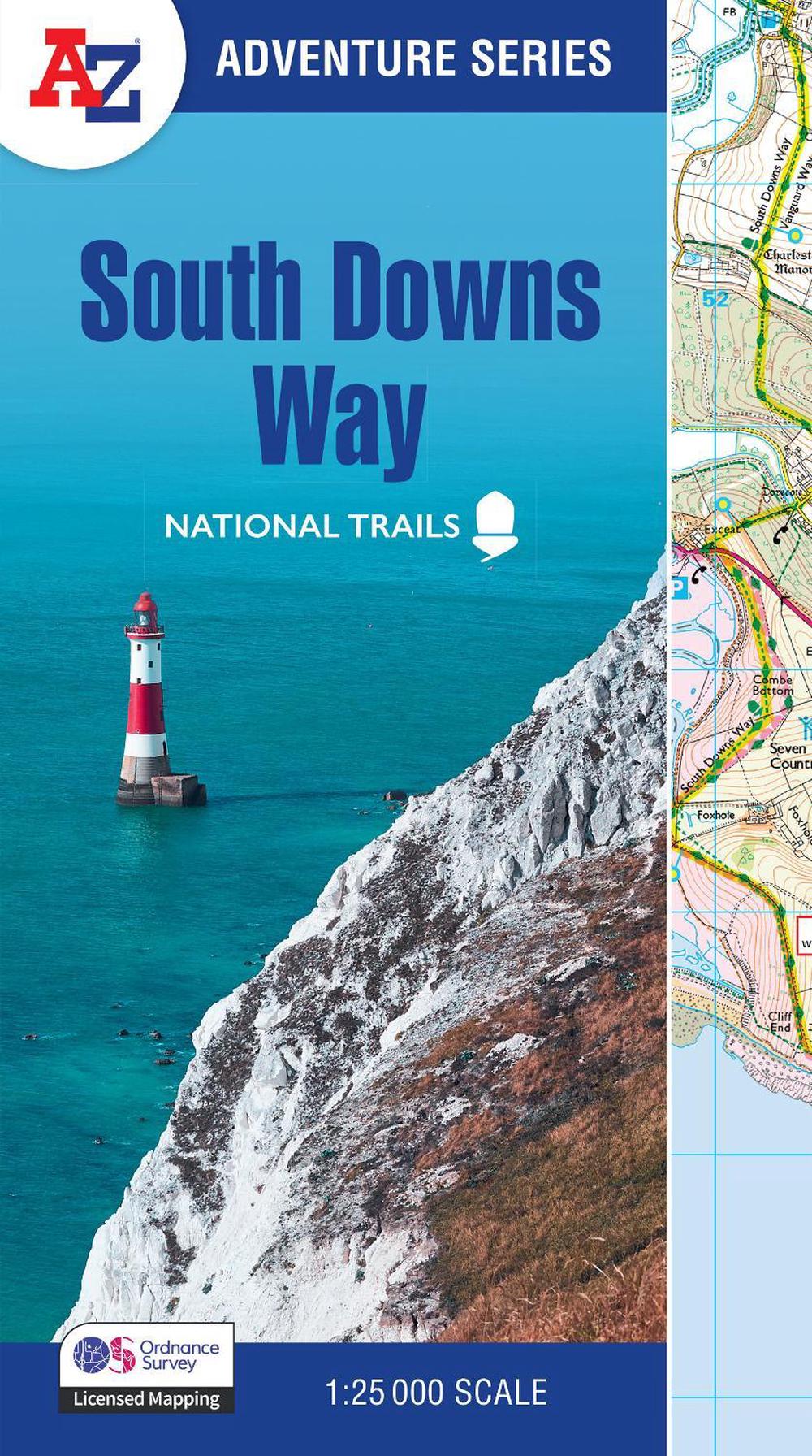
South Downs Way
with ordnance survey mapping
$31.88
- Paperback
64 pages
- Release Date
25 August 2025
Summary
South Downs Way: A-Z Adventure Map
The A-Z Adventure Series uses Ordnance Survey mapping and is the perfect companion for walkers, off-road cyclists, and anyone wishing to explore the great outdoors.
Starting in Winchester and finishing in Eastbourne, the scenic South Downs Way is a 100 mile (160 km) National Trail route lying within the South Downs National Park.
This National Trail Map features det…
Book Details
| ISBN-13: | 9780008727727 |
|---|---|
| ISBN-10: | 0008727724 |
| Series: | A -Z Adventure Series |
| Author: | A-Z Maps |
| Publisher: | HarperCollins Publishers |
| Imprint: | HarperCollins |
| Format: | Paperback |
| Number of Pages: | 64 |
| Release Date: | 25 August 2025 |
| Weight: | 120g |
| Dimensions: | 240mm x 134mm x 4mm |
You Can Find This Book In
About The Author
A-Z Maps
Geographers’ Map Company Ltd. (A-Z Maps) was established in London on 25 August 1936. The company’s most famous publication, the iconic A-Z Atlas and Guide to London, was created by Phyllis Pearsall, the founder of A-Z, who explored every street in London to create the first edition. Since then, A-Z has become the trusted source for street maps and atlases, as well as developing Visitors’ Guides, Road Atlases and the Adventure Map series for walkers.
Returns
This item is eligible for free returns within 30 days of delivery. See our returns policy for further details.


