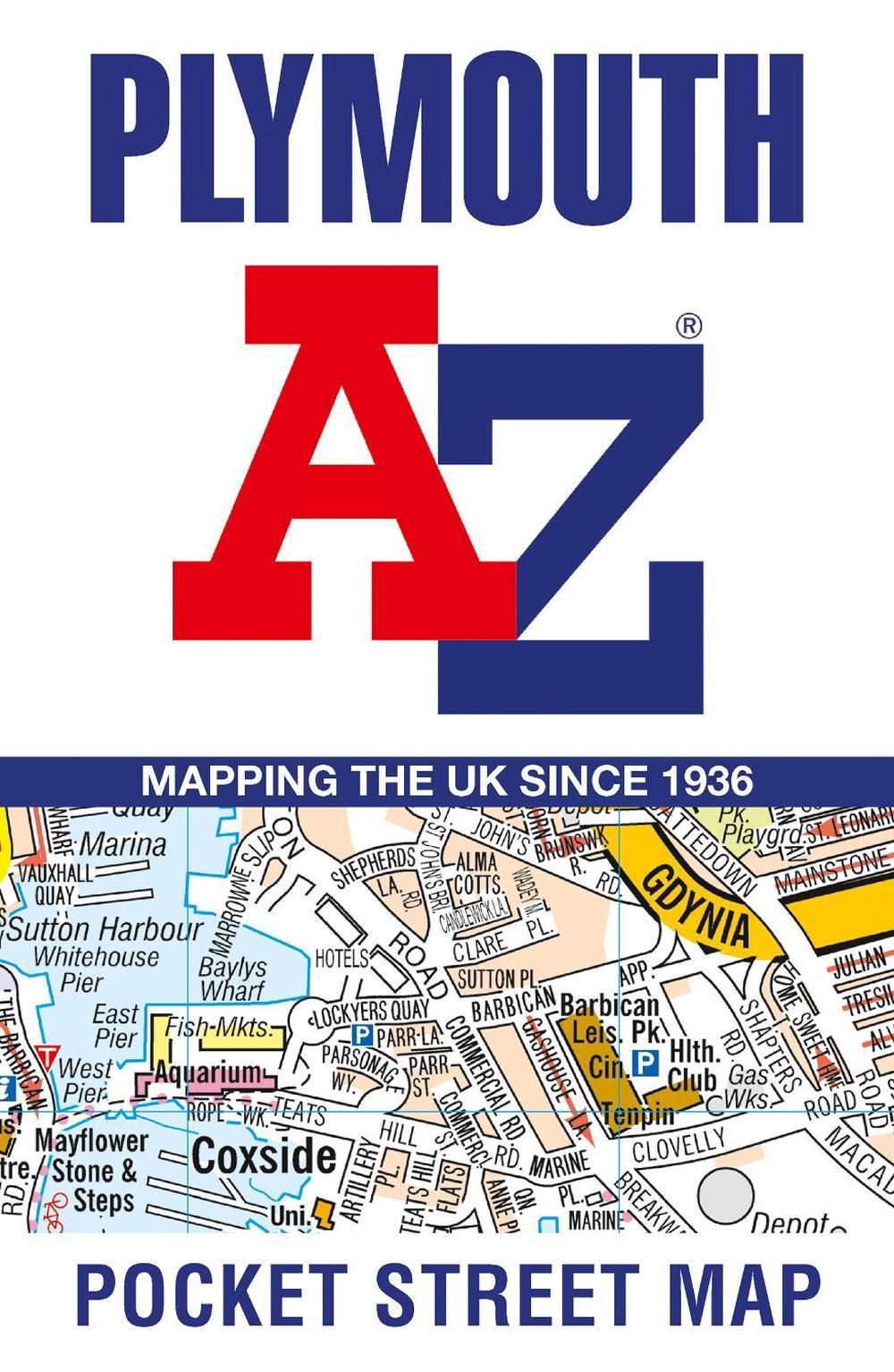
Plymouth A-Z Pocket Street Map
accurate street map for easy navigation
$13.61
- Folded
2 pages
- Release Date
28 July 2025
Summary
Plymouth A-Z: Your Pocket Guide to the City Streets
Navigate Plymouth with ease using this detailed A-Z street map!
This up-to-date, folded map features over 2000 streets in and around Plymouth, including key areas such as:
- Royal William Yard
- Crownhill Fort
- Stoke
- Efford
- Pennycross
- St Budeaux
- King’s Tamerton
- Eggbuckland
- Manadon
The large-scale street map includes:
Book Details
| ISBN-13: | 9780008725488 |
|---|---|
| ISBN-10: | 0008725489 |
| Author: | A-Z Maps |
| Publisher: | HarperCollins Publishers |
| Imprint: | HarperCollins |
| Format: | Folded |
| Number of Pages: | 2 |
| Edition: | 2nd |
| Release Date: | 28 July 2025 |
| Weight: | 40g |
| Dimensions: | 140mm x 90mm x 4mm |
You Can Find This Book In
About The Author
A-Z Maps
Geographers’ Map Company Ltd. (A-Z Maps) was established in London on 25 August 1936. The company’s most famous publication, the iconic A-Z Atlas and Guide to London, was created by Phyllis Pearsall, the founder of A-Z, who explored every street in London to create the first edition. Since then, A-Z has become the trusted source for street maps and atlases, as well as developing Visitors’ Guides, Road Atlases and the Adventure Map series for walkers.
Returns
This item is eligible for free returns within 30 days of delivery. See our returns policy for further details.


